
Nanny Lane (http://www.geograph.org.uk/photo/2749646)
Places are not stable; they mean different things to different people – even different things at different times. The deep map recognises the slippery identity of place, and seeks to visualise the multiple identities that go towards constructing the human experience of place.
The deep map recalls eighteenth- and nineteenth-century antiquarian approaches to place, which included history, folklore, local traditions and natural history alongside geographical and geological data. Deep mapping involves the accumulation and layering of different kinds of geo-locatable media within a geographic information systems (GIS) environment in order to facilitate investigations of the material, discursive, and imaginative geographies that inform our conception of a location’s topography and sense of place.
The concept of deep mapping emerged out of the psychogeographical experiments of the early French Situationists in the 1960s. More recently, the term has garnered popular interest through the American author William Least Heat-Moon’s study PrairyErth: A Deep Map (1991), which employs composite, multimedia methodologies to investigate the cultural and historical geographies of Chase County, Kansas.
In recent years, the deep map has been recognised as ‘the essential next step’ for humanities study (Bodenhamer, Corrigan and Harris, 2015, p.1). It is a fundamentally exploratory environment in which a near limitless range of sources can be included (Ridge, Lafreniere and Nesbit, 2013, pp.177-84). The deep map not only reveals a place’s connection with other places, but indicates the personal, social and imaginary networks that affect how it is perceived. The deep map does not present a fixed view of a location; instead, its inherent instability allows for the ongoing development of a place’s identity, and its capacity to reveal historical and contemporary human experience.
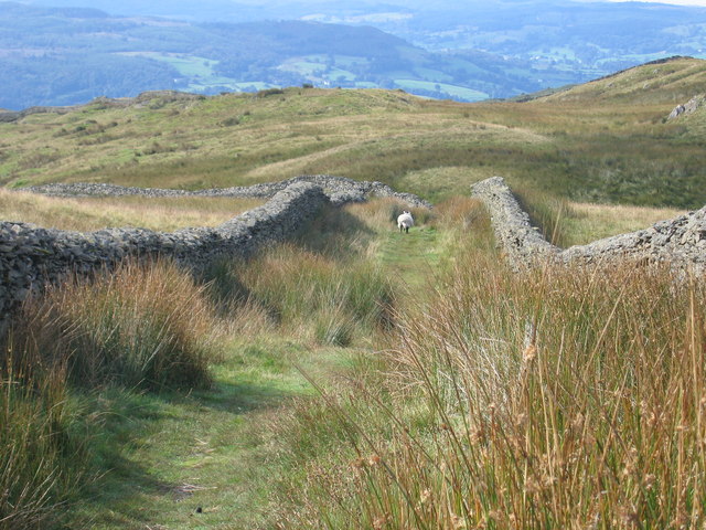
An alternative view: Looking Down Nanny Lane (http://www.geograph.org.uk/photo/3339956)
Deep maps recognise that people – and personal experiences – are central to a place’s identity. They take account of the fact that a single place is perceived in multiple ways, all of which create different meanings and invite different methods of analysis. They aim to visualise what Mike Pearson and Michael Shanks call the ‘details of memory’: ‘anecdotal, fragmentary, speculative… all those things which we might never regard as authentic history but which go to make up the deep map of the locale’ (2001, p.144). If the two-dimensional map asks what is in a place, the deep map asks why, how and whose experiences have created a sense of place. It seeks, in short, to ‘“map” the unmappable’ (Harris, 2015, p.33).
Shelley Fishkin summarises that deep maps are ‘projects rather than products’ (2011, p.3), because the ‘true’ deep map remains open-ended and continues to invite new contributions and fresh queries. For Fishkin, deep maps are palimpsests because they allow multiple versions of events, texts and phenomena to be written over each other. Crucially, the deep map aims to support both expert and casual users, and to provide a way for multiple ways of experiencing space to be expressed and engaged with in a way that attempts to democratise representations of place. They are curated projects that represent heterogeneous voices, and they aim to move away from the privileging of certain types of knowledge.
Geospatial Innovation will be exploring the deep map’s potential to combine academic expertise, literary representation and personal experiences in the construction of one of England’s most imaginatively complex landscapes, the Lake District.
Please see the further reading page for more resources.
![]()