![]()
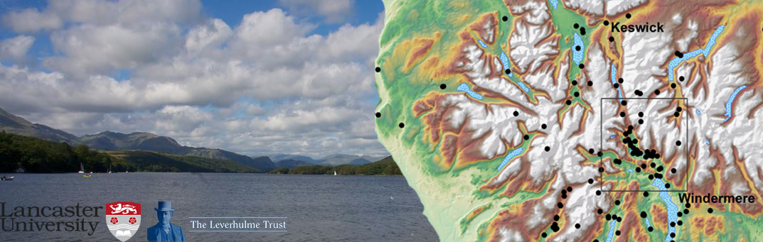
Geospatial Innovation: A Deep Map of the Lake District is a three-year project, running from 2015 to 2018. Funded by a Leverhulme Trust Research Project Grant (RPG-2015-230), and based at Lancaster University, the project is developing new understandings of the literary and cultural geographies of one of Britain’s most significant landscapes: the English Lake District.
The project focuses on a 300-year period between the eighteenth and twentieth centuries: a time that witnessed successive social, cultural, economic and industrial revolutions that affected the landscape of Lakeland region and contributed to its multifaceted identity. Our research applies ground-breaking and exploratory digital methods to the study accounts of the Lakeland region from this long period of history.
As part of the project, we’ll be running numerous research and public engagement events; please see the link here for more information. For details on practical workshops and training sessions please see here. For further information please contact a member of the project team.
Pingback: Consuming (the) Victorians: BAVS 2016 | Looks good on paper...
Pingback: Deep mapping the Duddon Valley | CEMORE
Pingback: How poets and painters of the past put the Lake District on the map | StuntFM 97.3
Pingback: | How poets and painters of the past put the Lake District on the mapHow poets and painters of the past put the Lake District on the map -