To fly or not to fly?
Natalie Harvey, University of Reading
In the event of a volcanic eruption, authorities need to make fast decisions about which routes are safe to operate and to ensure that airborne aircraft land safely. Keeping passengers safe is of paramount importance but grounding and re-routing of aircraft comes with a large economic cost. Further costs are incurred through the increased maintenance and checks that need to be performed if an aircraft is deemed to have potentially encountered ash.

Photo by Freysteinn Sigmundsson, 2004 (Nordic Volcanological Center).
Currently these high-impact decisions are made using qualitative forecasts produced without any indication of uncertainty. Their deterministic nature means flight operators have incomplete information on the risk of flying following an eruption, resulting in overly conservative decisions being made. For instance, the eruption of the Icelandic volcano Eyjafjallajökull in April 2010 disrupted European airspace for thirteen days, grounded over 95,000 flights and is estimated to have cost the airline industry over £1 billion. This blanket cancellation of flights was heavily criticized in the media and the forecasts were questioned by leading figures in the aviation industry. There is a need for a new generation of volcanic ash hazard charts allowing end users to make fast and robust decisions based on risk estimates using state-of-the-art probabilistic forecast methods.

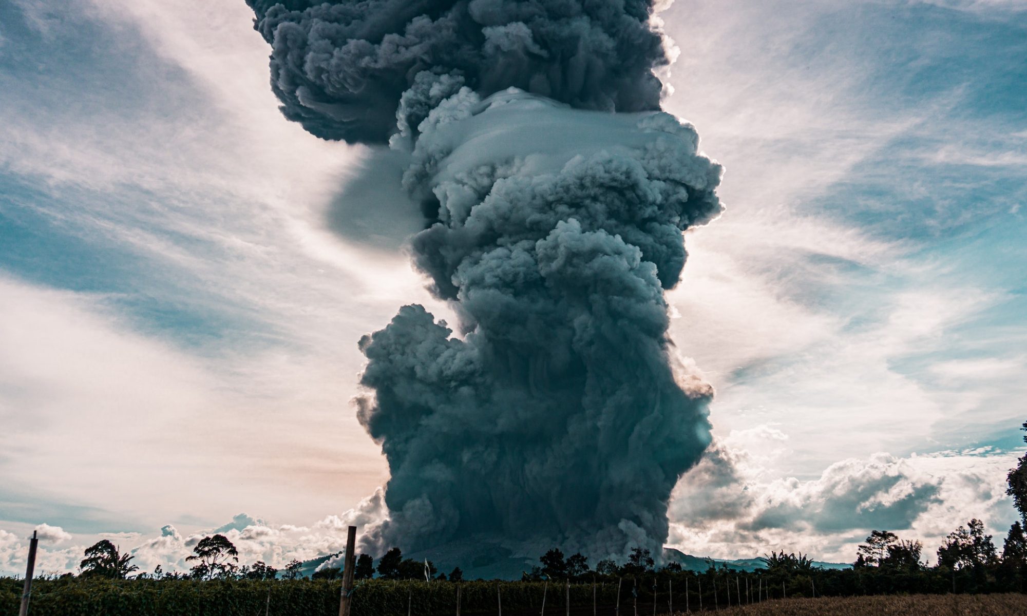
Photo credit: Michel Euler
Previous work at the University of Reading found that one of the main sources of uncertainty in these forecasts comes from the description of the ash that is erupted from the volcano – how much comes out and how high it goes (Harvey et al., 2018). The weather also has a large influence on where the erupted ash goes. In the R4AsH project we will be mathematically combining dispersion modelling, satellite observations and weather information to get the best estimates of the ash emissions from the volcano using the UK Met Office Inversion Technique for Emission Modelling (InTEM) system.
So far we have been focussing on a case study – the eruption of Grimsvötn, Iceland, in 2011. This eruption caused relatively little disruption compared to Eyjafjallajökull 2010 but forecasts were poor at predicting where the ash went. It is thought that this might be due to the positions of rain not being accurately represented in the forecasts – this is something we hope to test.
Currently, national weather services do not just run their weather forecast models once to provide forecasts to the public. They run their model numerous times (more than 50 times in some places) with slight variations in the initial conditions. This gives a set of weather forecasts that present the range of likely future weather possibilities. The impact of using different possible weather forecasts to find the best description of the ash that was emitted from Grimsvotn on 22-24 May 2011 is shown in Figure 1. There are some large differences between the descriptions with purple colors indicating more ash. For example, Member 17 is very different from Member 18. These differences also lead to differences in the estimate of the total amount of ash erupted by the volcano.
The next step in this research is to find out how much of a difference these weather descriptions make to long range dispersion of the ash and to try and quantify this effect. This will help to understand how important it is to use a range of possible weather forecasts when producing volcanic ash forecasts.

The time vs. height description of the ash emitted from the Grimsvotn volcano 22-24 May 2011 using 20 possible descriptions of the weather. The weather forecasts are from the European Centre for Medium-range Weather Forecasting.
References:
Harvey, N. J., Huntley, N., Dacre, H. F., Goldstein, M., Thomson, D. and Webster, H. (2018) Multi-level emulation of a volcanic ash transport and dispersion model to quantify sensitivity to uncertain parameters. Natural Hazards and Earth System Science, 18 (1). pp. 41-63. ISSN 1684-9981 doi: 10.5194/nhess-18-41-2018
https://www.ecmwf.int/en/about/media-centre/fact-sheet-ensemble-weather-forecasting